
Are you familiar with the wildfire mitigation strategies in your city? In Anchorage, certain techniques known as fuel treatments have helped reduce fire risk.
Read More
Increased wildfire activity has raised concerns among communities about how to assess and prepare for this threat. There is a need for wildfire hazard assessment approaches that capture local variability to inform decisions, produce results understood by the public, and are updatable in a timely manner. In this article, Schmidt and her co-authors describe how, in partnership with wildfire practitioners and communities, they created a tool that rapidly assesses wildfire hazards and is easily modified to help identify and prioritize mitigation activities.
Read More
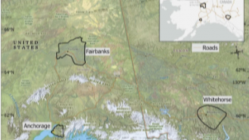
In this paper we modified an existing landcover dataset to better identify vegetation associated with wildfire and permafrost in Fairbanks, Anchorage, and Whitehorse over the past 4 decades (1984-2014) and make predictions for the next 4 decades (2024-2054). We used an existing fire model called FlamMap and several statistical analyses to determine where future fires could be possible.