Increased wildfire activity has raised concerns among communities about how to assess and prepare for this threat. There is a need for wildfire hazard assessment approaches that capture local variability to inform decisions, produce results understood by the public, and are updatable in a timely manner. In this article, Schmidt and her co-authors describe how, in partnership with wildfire practitioners and communities, they created a tool that rapidly assesses wildfire hazards and is easily modified to help identify and prioritize mitigation activities.
Read More
The Clear Fire in Interior Alaska has come within a half-mile of the Parks Highway, prompted evacuation orders for several communities, and is still just 22% contained. ISER associate professor Jen Schmidt has developed online maps residents can use to determine their level of wildfire risk. The maps also give insight to existing wildfires like the Clear Fire.
Read More
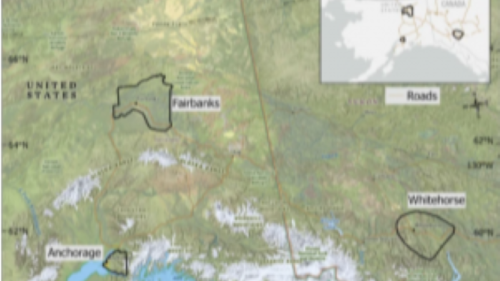
This summer, Alaska’s high temperatures broke records causing more Alaskans than ever to experience the effects of widespread wildfires. Wildfires, along with unstable permafrost, and rain-in-winter are natural hazards of climate change that put residents and property at risk. Assessing the costs, risks, and actions necessary to adapt to or mitigate damage from these hazards in Anchorage, Fairbanks, and Whitehorse in the Canadian Yukon, is the subject of a newly funded 4-year, $1.1 million National Science Foundation project, led by ISER’s Jennifer Schmidt.